Wisconsin Maps
Showing 1 to 3 of 3 (1 Pages)

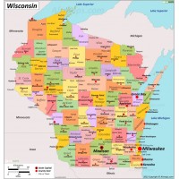
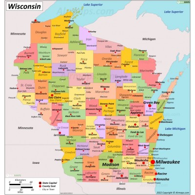
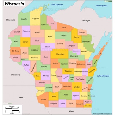
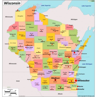
Wisconsin is a state in the upper Midwestern United States. Wisconsin is the 25th-largest state by total area (65,498 sq mi (169,640 km2)) and the 20th-most populous (5.9 million). It is bordered by Minnesota to the west, Iowa to the southwest, Illinois to the south, Lake Michigan to the east, Michigan to the northeast, and Lake Superior to the north.
Wisconsin is divided into 72 counties. The largest city is Milwaukee. The state capital, Madison, is currently the second-most populated city in the state.


