Mauritius Maps
$29.00
Showing 1 to 1 of 1 (1 Pages)

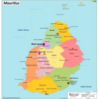
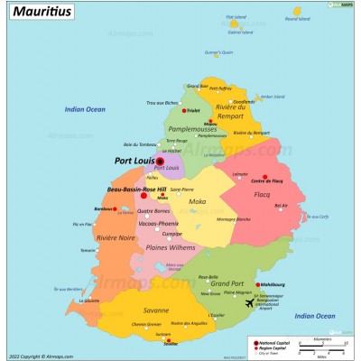
Mauritius, officially the Republic of Mauritius, is an island nation in the Indian Ocean about 2,000 kilometres (1,200 mi) off the southeast coast of the African continent. It includes the main island (Mauritius), as well as Rodrigues, Agaléga and St. Brandon. The capital and largest city, Port Louis, is located in Mauritius, where most of the population is concentrated. The country spans 2,040 square kilometres (790 sq mi). The island of Mauritius is subdivided into nine districts.

