Cape Verde Maps
$37.00
Showing 1 to 1 of 1 (1 Pages)

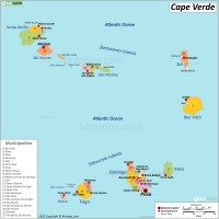
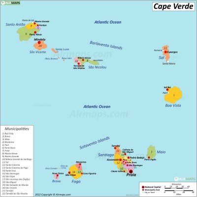
Cape Verde or Cabo Verde, officially the Republic of Cabo Verde, is an archipelago and island country in the central Atlantic Ocean, approximately 570 kilometres (350 mi) off the western coast of the African continent, near Senegal, The Gambia, and Mauritania. Cape Verde consisting of ten volcanic islands with a combined land area of about 4,033 square kilometres (1,557 sq mi). The capital and largest city is Praia, located on the southern coast of Santiago island. Praia is the economic, political, and cultural center of Cape Verde.

