Colorado Maps
Showing 1 to 3 of 3 (1 Pages)

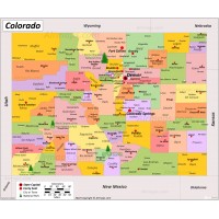
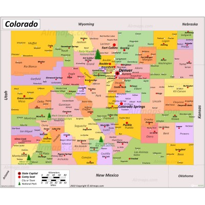
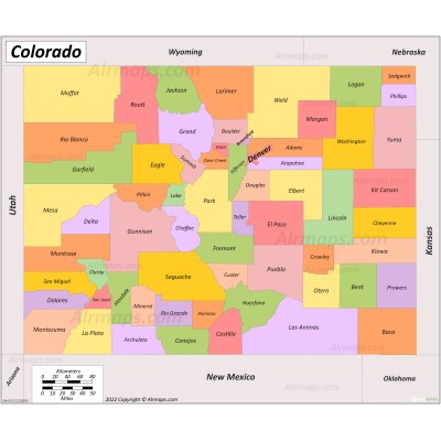
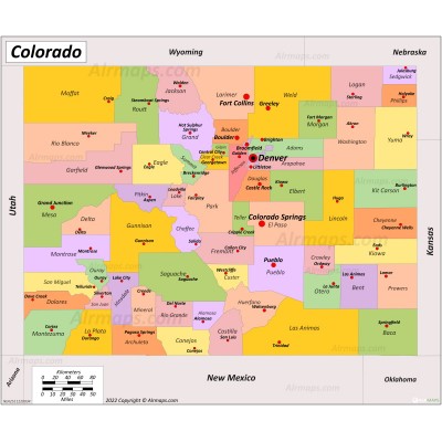
Colorado is a state in the Mountain West subregion of the Western United States. Colorado is the 8th-largest state by total area (104,094 sq mi (269,837 km2)) and the 21th-most populous (5.8 million). Colorado is bordered by Wyoming to the north, Nebraska to the northeast, Kansas to the east, Oklahoma to the southeast, New Mexico to the south, and Utah to the west, as well as touching Arizona to the southwest at the Four Corners.
Colorado is divided into 64 counties. Denver is the capital of and most populous city in Colorado. Colorado Springs is the second-most populated city in the state.


