Alabama Maps
Showing 1 to 3 of 3 (1 Pages)

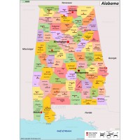
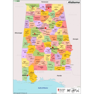
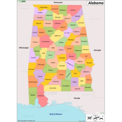
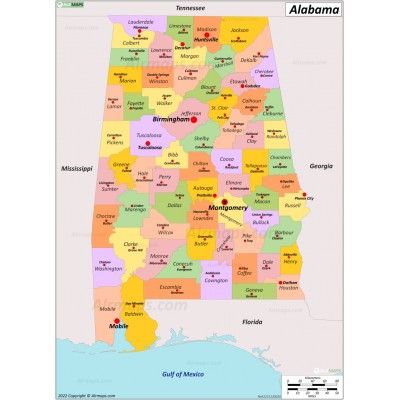
Alabama is a state in the Southeastern region of the United States. Alabama is the 30th-largest state by total area (52,419 sq mi (135,765 km2)) and the 24th-most populous (5 million). It is bordered by Tennessee to the north, Georgia to the east, Florida to the south, and Mississippi to the west.
Alabama is divided into 67 counties. The largest city is Huntsville. The state capital, Montgomery, is currently the the third most populated city in the state. Birmingham is the second-most populated city in the state.


