Antigua and Barbuda Maps
$29.00
Showing 1 to 1 of 1 (1 Pages)

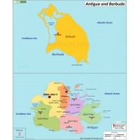
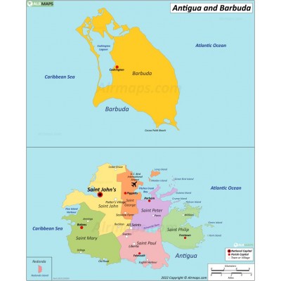
Antigua and Barbuda is a sovereign island country, lying between the Caribbean Sea and the Atlantic Ocean. It consists of two major islands, Antigua and Barbuda separated by around 40 km (25 mi), and smaller islands. The capital and largest port and city is St. John's on Antigua.

